Sea level rise and coastal storms
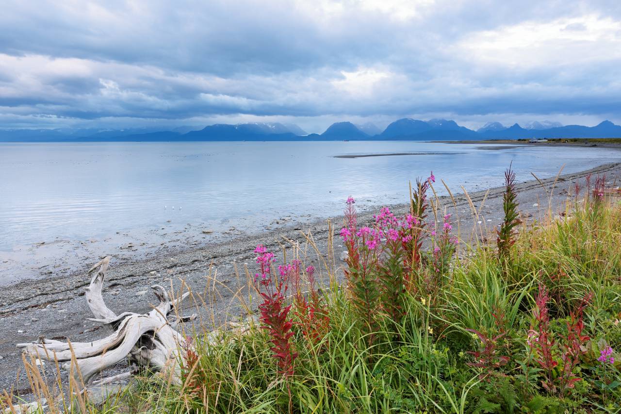
The eastern coast of Georgia has often been spared from severe coastal storms, but this trend has begun to change in recent years.
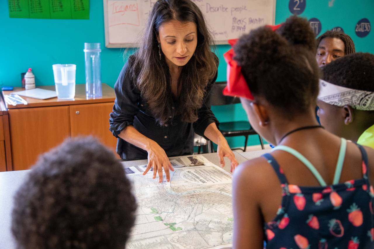
In response to the aftermath of Hurricane Irma in 2017, a group of scientists partnered with city planners in Savannah to develop a network of sea level sensors. The sensors provide real-time data for residents about flooding in their area. The ultimate goal is to use these sensors to create an emergency response alert system for residents, warning them of dangerous conditions. The city of Savannah is taking several other measures to address climate change, including a new program that will not only restore the city’s dwindling tree population, but create jobs for local residents.

Russell Clark lives in a modest neighborhood nestled about eight miles inland on the eastern coast of Georgia.
Only 20 or so houses are in the area, but some of these have been around for more than a century, including one that has stood since the Civil War. These homes have long been sheltered from storm surges and sea level rise, thanks to a marsh that forms a natural barrier between the houses and the pounding sea waves. But, as Clark points out, the marsh has only provided the “illusion of protection” in recent years.
When Hurricane Matthew hit in 2016, high winds pushed water over the natural barrier, flooding parts of the neighborhood by about six inches. While residents didn’t experience any property damage that year, they were less fortunate the following year, when Hurricane Irma brought saltwater to Clark’s doorstep. Damage to his house was limited mostly to the electrical and HVAC components in the crawl space that raises the building a few feet high – but three other houses right at ground level were severely flooded, with two to three feet of water taking over the first floor.
The residents along this coastal stretch of Georgia, including those living in the mid-sized town of Savannah just 20 miles from Clark’s house, are no strangers to storms. However, they have generally been spared from the most severe hurricanes that strike the Eastern Seaboard – a pattern that is now changing.
“We count ourselves very fortunate that [Irma] wasn’t life-threatening or more damaging, but it was a huge wake up call for the Georgia coast,” says Clark. “We no longer have the immunity that we thought we had.”
“We count ourselves very fortunate that [Irma] wasn’t life-threatening or more damaging, but it was a huge wake up call for the Georgia coast. We no longer have the immunity that we thought we had.”
While the city of Savannah has rarely issued mandatory evacuations in the past, it has issued two in the last three years. More emergencies like this are occurring, due to a combination of sea level rise and an increase in the frequency and intensity of coastal storms.
Nick Deffley, sustainability director of the city of Savannah, says, “Seeing the expense and the cost of recovery from the storms – which in some ways we are not fully recovered from even after two years –has made this a much hotter topic and has helped folks who normally wouldn’t think about it realize the direct impact it can have on them.”
As a response to the increasing threat of sea level rise and hurricanes, the city’s mayor launched several initiatives to help the city build resilience; these are being managed by Deffley’s team in the sustainability office. “We’ve been trying to strike while that iron is hot, so to speak,” says Deffley. “The last evacuation was in 1999, prior to the last three years. So people are finally getting the sense that this is real, this is serious.”
As for Clark, he decided to take matters into his own hands. After his firsthand experience with Hurricanes Matthew and Irma, he realized how little data was available to monitor flooding in the region. He says that at the time of the hurricanes, one flood gauge was installed along roughly 100 miles of Georgia coastline, which was nowhere close to sufficient for providing localized data. The need for data, which would be helpful for both insurance claims and understanding long-term flooding patterns, was a prominent issue on his mind when he first met Kim Cobb in 2018.
Both Clark and Cobb are scientists at Georgia Tech, and met at a workshop about creating smart cities that was hosted by the university. As the two began to chat, they discussed the flooding issues that Clark’s neighborhood, Savannah and the surrounding area were facing. They decided to combine Clark’s computer science skills and Cobb’s experience as an oceanographer to develop a new type of sea level sensor. They reached out to the city of Savannah and the county’s emergency management agency, which both expressed interest in participating. The Smart Sea Level Sensor project was underway.
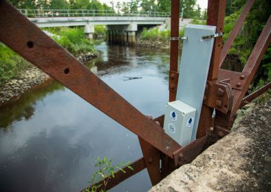
Using a modest grant of $50,000 from the Georgia Smart Communities Fund, Clark began designing a new type of sea level sensor that’s assembled from a collection of off-the-shelf parts. The sensor is placed on bridges and other infrastructure along the coast. It sends ultrasonic pulses from its high perch down to the surface of the water, using the time it takes for the pulse to reflect off the water’s surface and return to the device to calculate the sea levels. Importantly, the sensor is low-cost and easy to build.
An initial network of about a dozen of these sensors is providing real-time data on water levels for the city of Savannah and surrounding Chatham County. Residents interested in knowing water levels can check the website for live updates.
Both Cobb and Clark note that residents of the county are very enthusiastic about the project. When their team is installing sensors on bridges, they are often approached by curious bystanders. “Once we explain what we’re doing, they are so happy now that their neighborhood is going to have a way to keep track of sea level and the vulnerability for themselves moving forward,” explains Cobb. “So I think the response has been extremely positive and frankly, it’s what keeps us going through this early build out… we’re very committed to the long term of this because of that engagement and enthusiasm from the residents.”
And this is only the first stage of the project. Ultimately, the team plans to expand upon the sensor network and use it to create an emergency response alert system for the region. By combining the data from the sensors with local environmental data, they hope to identify patterns and conditions that are a threat to the community. Once enough data are collected and a better understanding of dangerous weather patterns is realized, an automated system will be deployed to alert residents and local emergency responders in the case of a disaster.
But first, the team needs more sensors. To make enough for a comprehensive monitoring and alert system, the Smart Sea Level Sensor team has taken a rather unconventional approach, partnering with classrooms in the region. In some local high schools, for instance, students enrolled in engineering classes are now building and testing the sensors as part of their schoolwork. And students enrolled in a computer design course at Georgia Tech are developing smart phone apps and web portals for displaying data from the sensors to the public.
Cobb says this approach has been very successful: the students are happy to be working on projects that address meaningful, real-world problems, including local climate change issues.
In addition, the high school classrooms have outlined a curriculum for building the sensors, which can be adopted by other school districts. While this sea level sensor project has been mostly limited to Chatham County so far, a neighboring district has expressed interest in expanding the network of sensors to include their coastline as well. More distant sites along the northeast coast of the U.S., such as New York and Maine, may also implement a few of the Smart Sea sensors, to provide additional data to inform the development of the emergency response system. The more data that’s used to analyze conditions, the more accurate the emergency response system will become.
Deffley notes that the alert system, which will be fully deployed in the next year or two, will be an immediate benefit to Savannah – but data collected over many years will also help guide the city’s long-term infrastructure and development efforts. In the meantime, his team has been moving forward with several initiatives to help the city become more resilient to the changes it faces now. One is a comprehensive green infrastructure project, which includes planting more trees throughout the city to soak up excess stormwater.
While developing the plan to add more trees to Savannah’s streets, Deffley and his team saw another opportunity. Just as Savannah’s tree canopy had dwindled in recent years, so had the prevalence of expert horticulturists who take care of the city’s trees. To address both of these issues, the city assessed its inventory of underutilized properties in low-income areas that could serve as tree nurseries. With a grant from the Southeast Sustainability Community Fund, they identified vacant lots in three neighborhoods and then created a program for underemployed residents in those areas, training them in how to take care of trees. Buying mature trees is costly for the city, so this approach is more cost-effective, all the while creating jobs for people who need them.
“Once the trees are nurtured, they are going to last a long time and have a big impact on the water they can absorb,” explains Deffley. “We picked native species that are resilient when it comes to flooding and saltwater, including magnolia, live oak, river birch, eastern red cedar and bald cypress trees.”
The cherry on top? These newly trained horticulturists will also be growing citrus trees, which will provide fresh fruit for locals.
The city is in the process of implementing dozens of other projects, such as adding bike lanes and electrifying the city’s fleet of vehicles. Climate change isn’t a word that’s used often in conversations, but for the most part, people are acutely aware of climate-related challenges headed their way. Deffley says these green initiatives are in part to address climate change, but they also simply make sense: they make the city a nicer place to live.
As the city forges ahead with its initiatives, the Smart Sea Level Sensors team is looking forward to its next steps. Cobb says the group is exploring how to get federal funding for research to improve their model for forecasting flood events. If a hurricane is approaching, they want to be able to take the available environmental data to create “hyper-local” forecasts for residents. For example, if the wind is going at 60 miles per hour and high tide is at its peak, what will flooding be like for each neighborhood and who should evacuate? “That’s a research tool we’d love to develop,” Cobb says. “And then the other thing we’d like to do is to try to build infrastructure into that model so that we can understand what vulnerability to the energy grid is, to the hospital – all of these other aspects that people rely on in an emergency.”
While this project is vast in scope, Cobb attributes its success to the collaborative approach that was adopted on day one. “You can invent the best tools for the job, but if you don’t have the engagement, the buy-in, the partnerships with local-level decision-makers and managers, it’s probably not going to work out,” she emphasizes. “It’s not enough to just communicate the data and the science anymore – no matter how well you do that. To get action on the ground, you need really deep relationships at a fundamental level.”
Story by: Michelle Hampson (Sept. 2019).
Banner Image: A lighthouse at sunset on Tybee Island, Georgia. Credit: Impact Media Lab / AAAS.